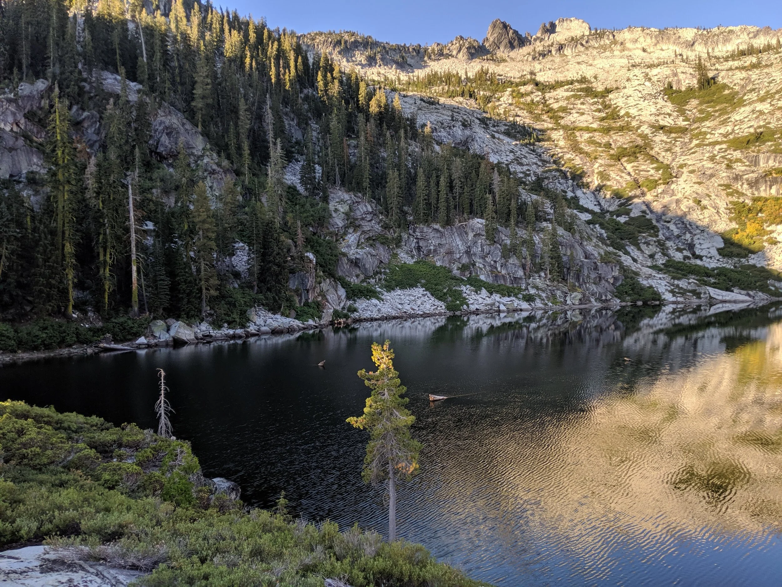
GRANITE LAKE, SHASTA-TRINITY NATIONAL FOREST, CA

September 13-15, 2019

THE NORTH

We finally made it up north to the Shasta-Trinity National Forest for an end of summer trip! We had often talked about exploring this area but were never able to make it happen until now. The distance from SF made it difficult to do as a weekend trip after work if we had to hike in the same day, but after some quick research, we were able to find an abundance of drive-in campsites in the area that didn’t need prior reservations and we were on our way. We headed out late Friday afternoon and arrived at the Lower Jones Valley campground at Shasta Lake around 11pm. We found an available site, quickly set up camp and turned in for the night.

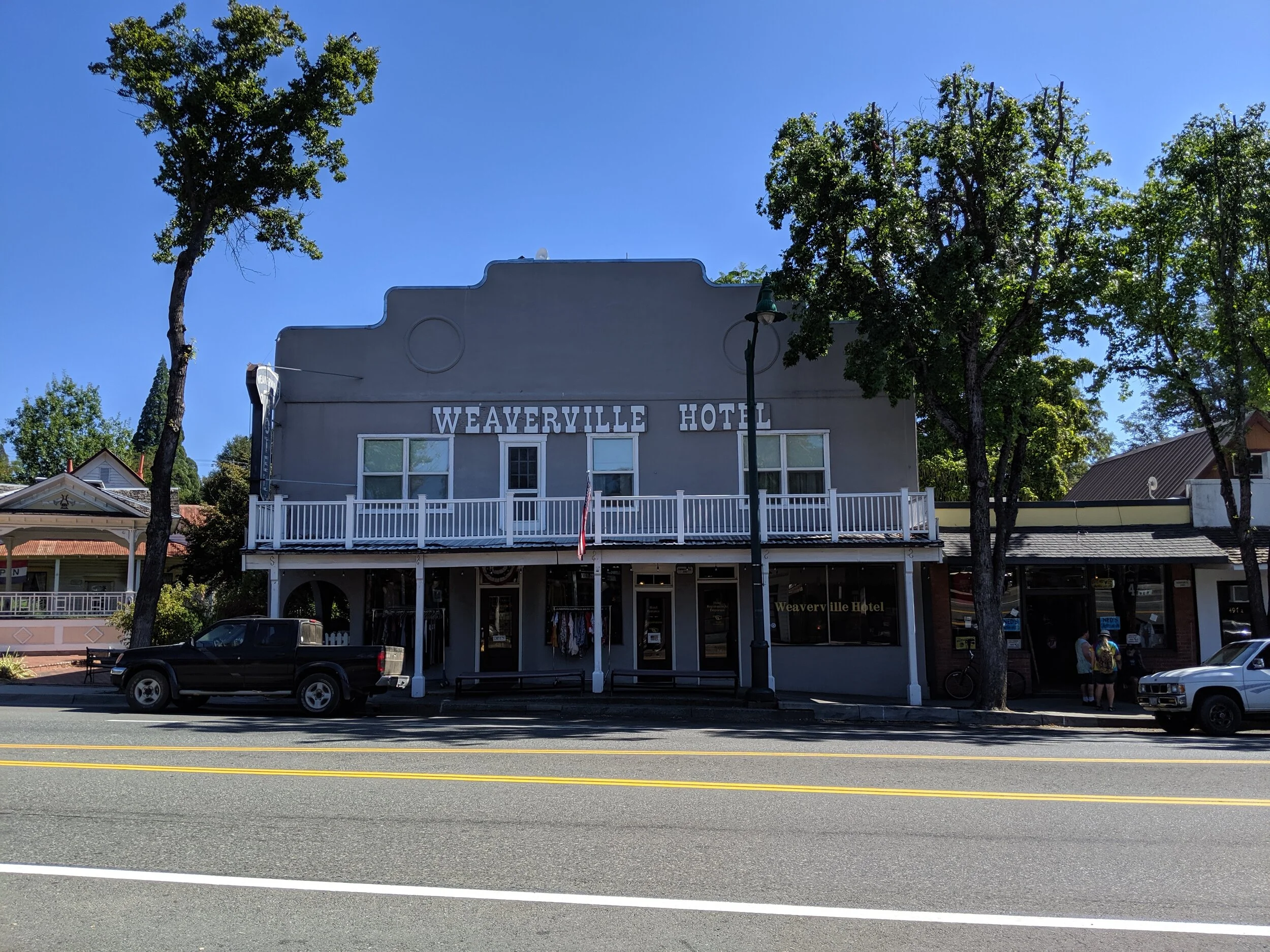
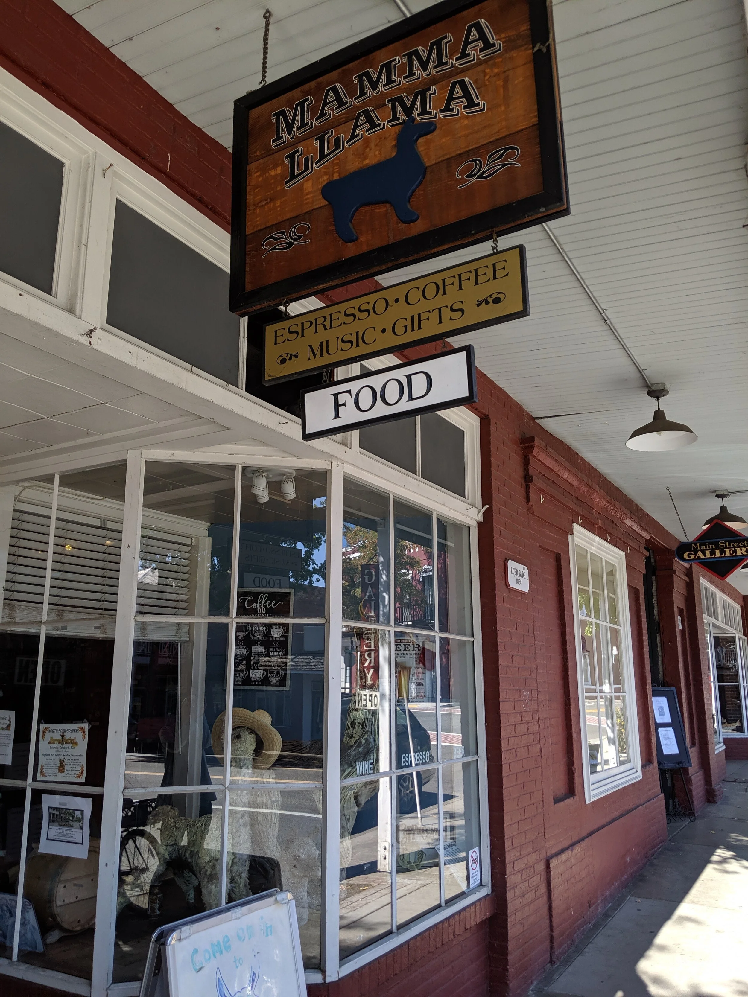
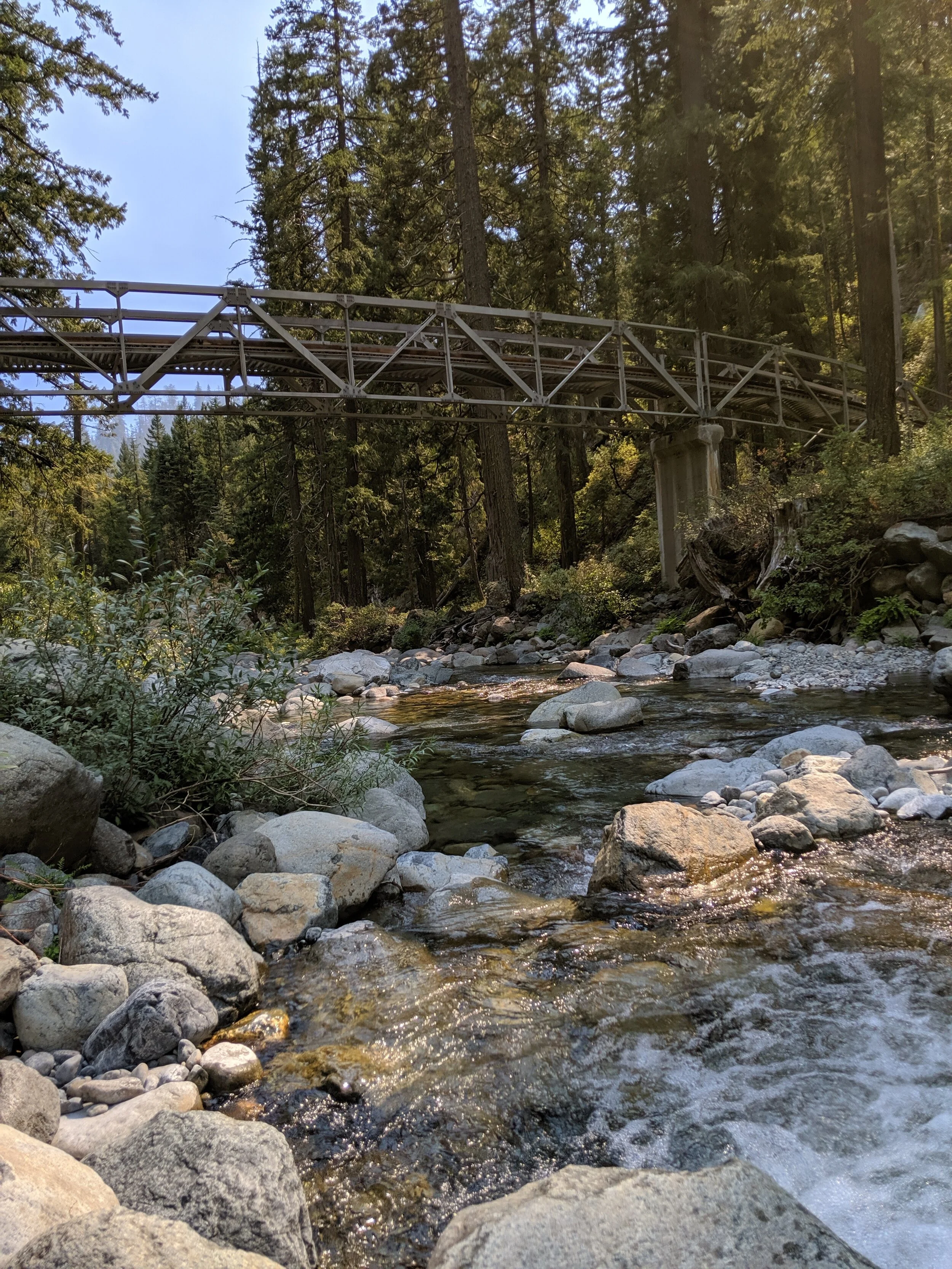
The next morning, we broke camp and drove over to Weaverville, an historic gold rush town, for a late breakfast. We ate at Mama Llama, a local cafe that doubles as a comic book store, and admired the charm of our surroundings. We then headed out for an hour drive towards the Swift Creek Trailhead, the start of our short sojourn in the Trinity Alps.

Weaverville_1
Weaverville_2

The hike to Granite Lake was probably one of the most beautiful and pleasant trails I have ever experienced. Most of the way was shaded and there was an abundance of flora along the entire way. We came upon a bridge about a mile in and took a pause, enjoying the lovely breeze. We were alone for most of the way, only encountering two groups on their way out. About two-thirds of the way in, we took an unintentional detour and realizing our mistake, backtracked until we found the trail again. That detour added a bit of time to our hike in and overall exhaustion, but we arrived well before dark and set out to find a good spot to set up camp.

Granite_Lake_1
Granite_Lake_2

Most of the campsites were very close to the trail, but we were able to find a more isolated one that was a bit further from the lake and worth it for the privacy. One unique trait of Granite Lake compared to all the other lakes we have backpacked to is the general inaccessibility of the water’s edge. Although this was slightly frustrating, the effect was equally breathtaking. We just had to admire its beauty from afar.

We made the acquaintance of a couple of deer grazing nearby while we filtered water, made a quick dinner, and called it an early night. The next morning, I got up pretty early (for my standards) and took a walk out to a point on the south side of the lake where I could get closest to the water. My surroundings were so peaceful and calm, I wished I had another day to take in its beauty and explore its peaks. But I’ll take what I can get.

Granite_Lake_3
IMG_20190915_075050.jpg

We had a leisurely breakfast, broke camp, and made our way back out towards the trailhead. We came upon the bridge we had passed coming in and dipped our feet in the refreshingly cold and bracing water. At that point we noticed that the reflections on the water and rocks had started to take on a red hue and the air was starting to become infused with the familiar scent of smoke. The previously bright blue sky also started to take on the same ominous complexion and we decided it was probably a good idea to book it to the trailhead. The day before, at the Weaverville Ranger Station, we had read about a fire to the south of us that posed no danger, but some strong winds during the night had blown its presence into our previously tranquil environment.

Granite_Lake_4

The end of our journey was a bit more harried than how it began, but our first foray into the northern alpine charms of our state only enticed me to want to roam further. There is so much more to explore.


TRAIL INFORMATION:

Trailhead: Swift Creek Trail

Distance: 9.7 miles out and back

Elevation: 6,035 feet (2,057 feet elevation gain)

Things to Note: Bear country, mosquito repellent, water filter, check fire hazard bulletins